-
Planning a new commute.
I moved house recently, and a new house means a new commute.
I love maps, so planning a commute is almost as much fun as riding it. More fun if you have to ride a really bad commute (technically it’s impossible to have a really bad commute by bicycle).
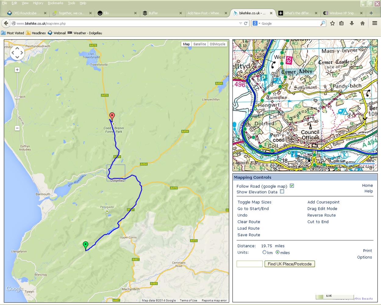
There are some great tools for route planning, not least of which is BikeHike – a split-pane interface featuring Ordnance Survey/Google Maps/OpenCycleMap etc. means that finding trails and paths between places becomes easy, and information about distance/elevation is instantly to hand. Combine BikeHike with Google Earth and you’ve got instant 3D zoomable routemaps.
A few things have to be considered when planning a commute:
- Distance – How far are you prepared to cycle?
- Time – How long will the journey take?
- Traffic – generally best avoided.
- Trail condition – what kind of terrain will you ride?
So, start with BikeHike’s course creator. Choose “Follow Road (Google map)”, enter your postcode, and click on your house. Next, find the location of where you work and click on that. A blue line shows your first potential commute route.
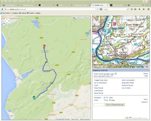
Mark the start and the finish of your commute. Hey presto! Your first potential route.
Save it as a .gpx file if you want to download it to a device, or as a KML file if you want it in Google Earth. Saving it in both formats is best so you can do whatever with the route later.
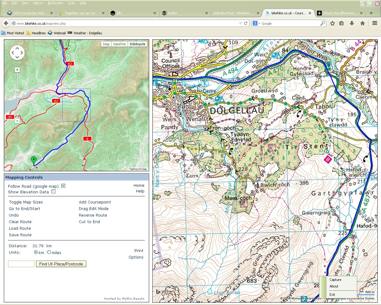
Your first draft almost certainly needs work. Firstly press the “OSMcycle” button in BikeHike, which will identify any designated cycleways. Then press “Toggle Map Sizes” so that the OS map is largest. Look for quiet shortcuts and quiet longcuts (almost as good as shortcuts and often way better than riding a busy road alternative). Look for B-roads, backlanes, bridleways, farmtracks, cyclepaths, and even sheeptracks if you’re happy to push. Plan a new route using all the useful diversions you identify. Finally, press the “Show Elevation Data” button to display exactly how much the commute is going to hurt.
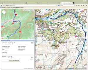
Use the OSMcycle map to identify potential cycleways. Use the enlarged OS Map to identify bridleways and B-roads.
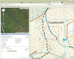
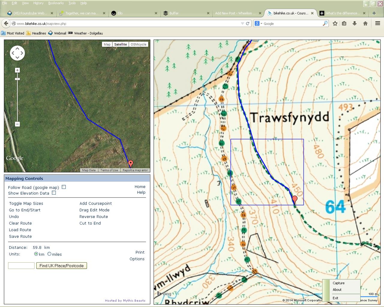
Use OS and Satellite images together to identify tracks on the ground.
Once you’re happy view it in Goodle Earth: In Google Maps, upload the KML file, switch to Earth view and you’re done. (If you’re using the new Google Maps engine you’ll need to switch back to Google Maps Classic temporarily – or permanently because Classic is better)
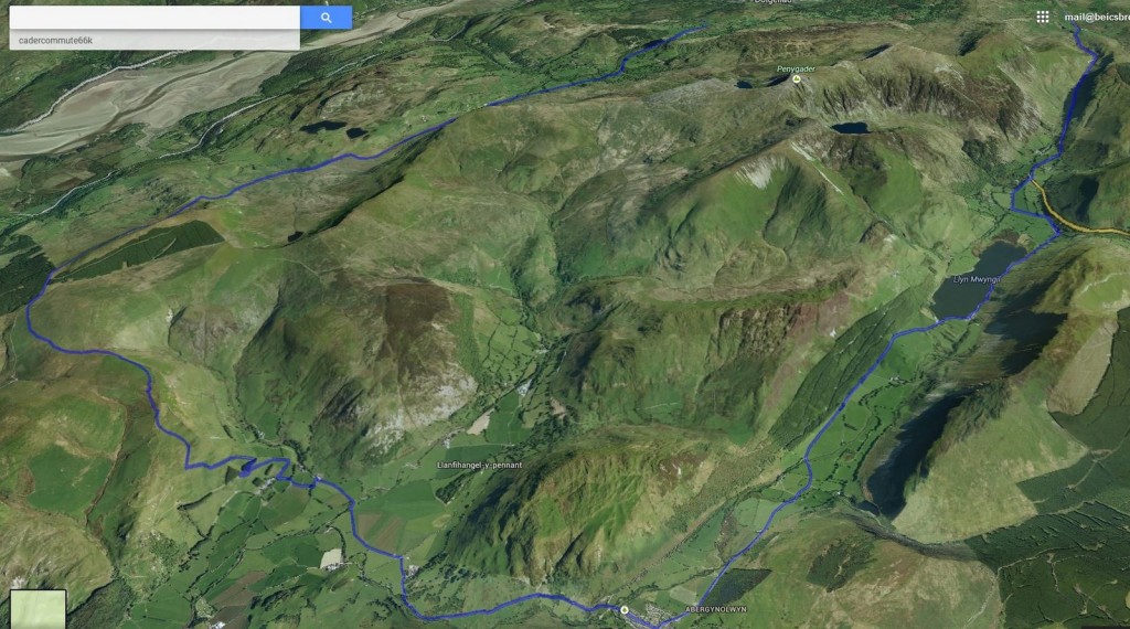
The whole route in 3D
Of course, as well as riding to work, you have to get home from work too, and on the way home there’s often no deadline, so it’s a great opportunity to plan a longer, more fun way home.
So, here’s mine:
-
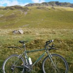
- Blue sky over Cader.
-
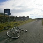
- Y Ffordd Ddu (The Black Road)
-
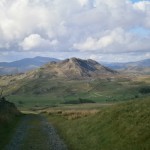
- Bryn Brith
-
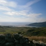
- The Mawddach Estuary (Barmouth)
-
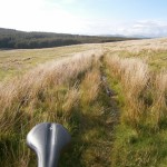
- Not your everyday commute.
-
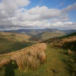
- Home is over there somewhere.
-
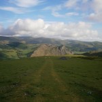
- Craig y Deryn
-
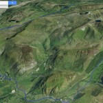
- The whole route in 3D
On the way in I’ve chosen to ride on the road, opting for the fastest route. It’s still a couple of miles longer than my old commute but the climbs aren’t as steep (bonus). On the way home I’ve opted for a slightly harder, but more scenic route climbing steadily along the north face of Cader Idris. A stunning ride home, and well worth the time it took to plan!
Now….which is your best route to work?


Upcoming Events
- We currently have no dates for these events. Please contact us if you have a date in mind - we'll try our best to accommodate!
Recent Posts
- Epic Rides in Wales
- Renewing my British Cycling membership?
- 2022 is here. Let’s roll (with the NHS)
- A not too SHABI weekend in Snowdonia, Wales!
- Luke joins Team Wheelism!